

Canal water levels play a crucial role in managing drainage in Digbeth, an area known for its historic canals and busy urban landscape. How high or low the canal water sits can directly affect how well drainage systems move rain and excess water away from streets and buildings.
Water levels that are not properly controlled may cause blocked drains or even flooding during heavy storms.
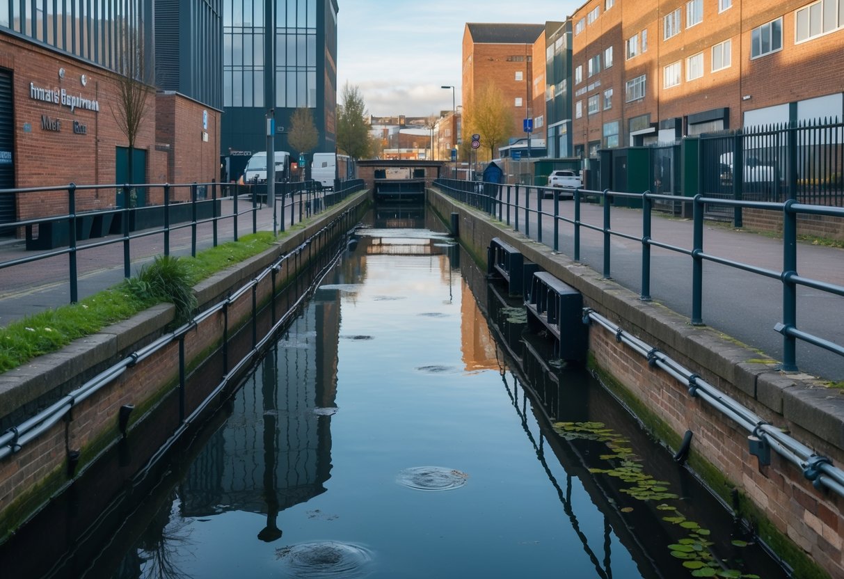
When canal levels rise, extra water can slow down the flow in drains and pipes, making it harder for stormwater to escape. If water levels drop too low, some drains may not work as intended, leading to dry patches or a build-up of debris.
Local authorities must pay close attention to canal management, using locks, pumps, and other tools to keep everything balanced in Digbeth’s unique waterways. These actions help keep both daily life and local infrastructure running smoothly; you can read more about how water levels affect Digbeth in canal conservation reports.
Key Takeaways
- Canal water levels are key to efficient drainage in Digbeth.
- Poorly managed water levels can increase flood risks and drainage issues.
- Ongoing monitoring is needed for a safe and healthy urban environment.
Overview of Canal Water Levels in Digbeth
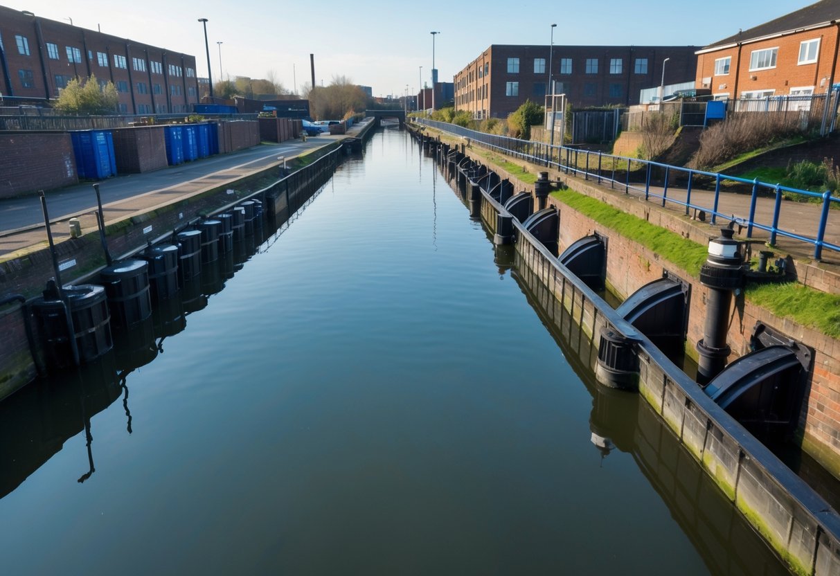
Understanding canal water levels in Digbeth helps us see their direct impact on drainage systems. These levels are shaped by past management, modern observation tools, and many factors such as rainfall and land use.
Historical Trends in Canal Water Levels
In Digbeth, canal water levels have changed over time due to industrial growth and local development. The construction of the canal system in the 18th and 19th centuries aimed to support transport and industry.
These activities needed stable water for navigation and affected natural drainage patterns. Historically, canal water was often regulated by locks and weirs.
Poor management sometimes led to flooding during heavy rain or drought when levels dropped too low. Over the years, as industry declined, the water management focus shifted to conservation and flood prevention.
Periods of rapid urban expansion, especially during the Industrial Revolution, put more pressure on both the canal and local drainage systems. Water tables have been lowered or raised as a result of changes like increased surface paving and building construction.
Today, parts of the Digbeth canal network are recognised for their historic value and protected through conservation efforts, as noted in the Digbeth Branch Canal conservation area.
Current Monitoring Methods
Today, we use a mix of traditional and modern methods to track canal water levels in Digbeth. Water levels are still checked manually at certain points with measuring rods or gauges.
These simple checks help provide basic daily records. However, digital sensors are now common throughout key sites in the network.
These sensors send real-time data about water depth, flow rates, and temperature to central monitoring hubs. This information is crucial for quick responses to flooding risks or sudden changes in the environment.
Remote monitoring also includes the use of cameras and data loggers. These tools help canal managers detect blockages, leaks, or pollution early.
Public reports and inspections play a supporting role, especially when locals spot problems affecting both water levels and drainage.
Key Influences on Water Levels
Canal water levels in Digbeth are shaped by several clear factors:
- Rainfall and runoff: Heavy rain quickly raises water levels. Canal banks are designed to hold excess water, but overflow drains may carry it into local drainage systems.
- Water usage and discharge: Activities like lock operation and nearby construction can change the amount of water in the canal. Discharge from other streams or drains also affects levels.
- Vegetation and silt build-up: The growth of plants and debris, plus silt settling on the canal bed, reduces water capacity. This can lower flow and impact drainage.
- Groundwater changes: Fluctuating groundwater affects canal water, especially in areas close to the water table.
Environmental concerns such as changes in the water table and pollution, especially from minewater drainage, also impact Digbeth’s canals, as reported in the Digbeth Branch Canal conservation area study. Managing these influences helps keep both the canal and local drainage systems balanced.
Relationship Between Canal Water Levels and Urban Drainage
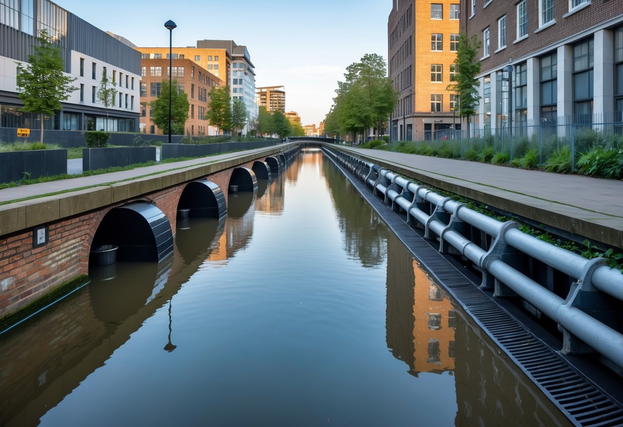
Understanding how canal water levels affect urban drainage in Digbeth is crucial for managing local flood risk. The way water from canals and the drainage system interact can impact surface water, groundwater, and the effectiveness of drainage infrastructure.
Mechanisms of Water Flow and Interactions
Canal water flows through a network of engineered channels that sometimes run parallel to, or intersect with, urban drainage systems. When canal levels are high, water can seep or overflow into nearby drains.
This process increases pressure on drainage pipes and can slow down water removal from streets and properties. After heavy rainfall, when both the canal and the drainage system are receiving extra water, the risk of backups and localised flooding rises.
Some drains empty directly into the canal, so high canal levels can reduce flow from the drains, raising the chance of standing water on roads. Maintaining a balance between canal water and drainage is important for city infrastructure.
Adjustments in canal water management, such as controlled releases or retention, can reduce stress on local drains.
Hydraulic Connectivity with Drainage Systems
The connectivity between canals and urban drainage is shaped by historic and modern engineering decisions. In Digbeth, many surface water drains were originally built to discharge into canals.
When canal levels are low, this setup helps drain stormwater quickly. However, when canal water rises, the same connection can work against us.
High water in the canal can block or reverse the normal outflow of drains. This happens most often at drainage outfalls, where water leaves the pipes and enters the canal.
If canal water is higher than the drain, backflow can occur, pushing water back into the drainage network. Some newer drainage designs include non-return valves to reduce this risk.
Older parts of Digbeth still face problems with urban drainage meeting canal water, especially during wet weather.
Critical Thresholds and Risk Points
There are key thresholds where canal and drainage interactions create the most risk for flooding and damage. For example, when canal water rises above a certain height, drains lose the ability to move water away from built-up areas efficiently.
We can use monitoring systems:
| Sensor Type | Measured Factor | Placement |
|---|---|---|
| Water level sensor | Canal height | Along canal banks |
| Flow sensor | Drainage network flow | Inside main drainage pipes |
Using these tools, we identify risk points, such as low-lying junctions and outfalls. These are the spots where blocked or overwhelmed drainage can cause problems quickly.
When monitoring shows canal levels are nearing critical heights, we must take actions like closing locks or activating pumps to prevent backflow or flooding. Local projects sometimes focus on improving drainage at these high-risk areas.
For example, certain canal side developments avoid direct connection to the municipal drain network, reducing overflow problems and keeping systems more resilient in Digbeth and Birmingham Eastside.
Effects on Flood Risk and Water Management
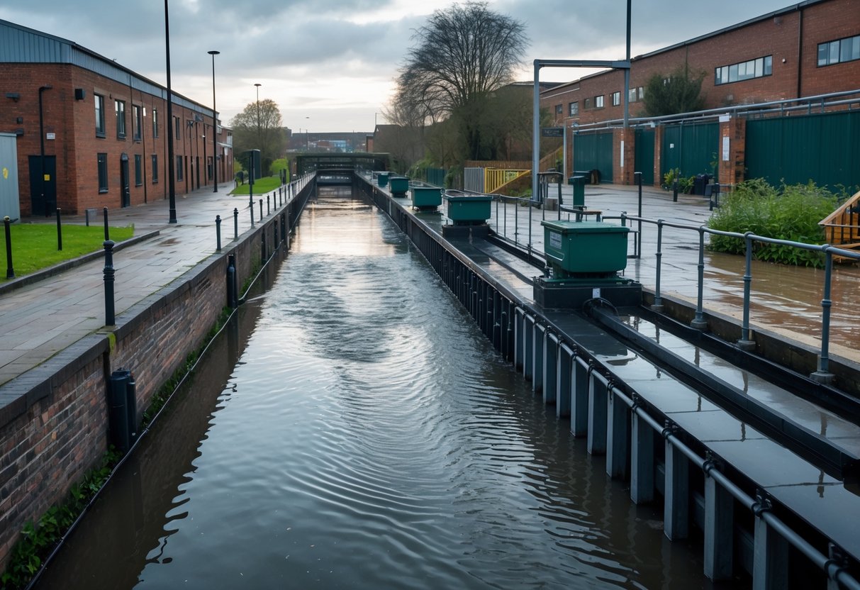
Canal water levels can influence both local flood risk and the way drainage systems perform during heavy rainfall. Understanding how these relationships work helps us improve water management and protect nearby communities.
Flood Risk in Surrounding Neighbourhoods
When canal water levels are high in Digbeth, there is less space for rainwater to drain away. This can make it harder for surface water to clear during storms and increase the risk of flooding in lower-lying areas.
Neighbourhoods next to the canal, especially those with old drainage networks, may be more vulnerable. Flood risk often comes from a mix of causes such as heavy rainfall, blocked drains, and the canal level itself.
Residents in some areas of Digbeth have not experienced major flooding, but the risk remains if canal levels rise at the same time as heavy rain. In the past, other UK urban communities have faced similar risks from a combination of high river or canal levels and surface run-off, as seen in recent studies on urban flood threats.
We need to watch for drainage pressure points, particularly where the land slopes towards the canal. High canal levels in wet weather can slow the removal of rainwater from these areas.
Drainage System Capacity under Varying Canal Levels
Drainage capacity depends on how much water the system can carry away, and this is affected by the height of the canal water. When the canal is already high, water in drains has nowhere to go and may back up onto roads and pavements.
Some drainage systems use pumps or valves to control the flow, but these can struggle when canal levels are very high for long periods. During intense storms, this can quickly lead to surface flooding, especially if the network is old or has narrow pipes.
The effectiveness of natural flood management, such as adding woody debris or other in-channel features, can help but usually brings only small benefits for drainage downstream. This has been measured in case studies which show that more severe weather reduces the positive impact of such interventions.
To manage these risks, we need regular maintenance and real-time monitoring of both canal and drainage levels. This helps prevent overflows and keeps communities safe during extreme rainfall events.
Impact on Urban Infrastructure and Development
Canal water levels in Digbeth play a direct role in shaping both the safety of building structures and the operation of transport networks. We must pay close attention to these impacts to ensure urban growth is both stable and sustainable.
Influence on Building Foundations and Stability
Changes in canal water levels can put foundations at risk, especially in older or low-lying parts of Digbeth. When water tables rise, the soil beneath buildings may become saturated.
This can lead to weakened support under structures, causing shifts or even cracks. If canal water levels drop too low, soils may dry out and shrink, making foundations settle unevenly.
Developments beside the canal often need reinforced foundations. Modern building codes address this by requiring waterproofing and extra drainage measures.
Periods of heavy rainfall can make things worse, as drains may back up and flood lower levels. Some new building projects use deep piles or advanced base sealing to tackle these challenges.
For detailed insight, see the potential for decentralised infrastructure in Digbeth.
Implications for Transport Networks
The Digbeth canal area supports both road and rail links, as well as historic towpaths. Shifting water levels can affect the tunnels and culverts that run under streets and railways.
High water can flood underpasses, while low water can lead to ground movement, misalignment, or settlement. Rising canal water in storm events sometimes overflows into nearby roads, disrupting traffic and damaging surfaces.
Scheduled maintenance for drains and culverts is crucial to prevent these incidents. The impact extends to canal-side footpaths and cycling routes, which are popular for commuters but prone to closure during flooding.
As infrastructure ages, careful monitoring of water levels and regular upgrades help prevent transport disruptions. Transport planning for the Digbeth area now often includes water-sensitive design and improved drainage to keep both heritage and modern networks operational, as described in the redevelopment of Digbeth.
Environmental and Ecological Outcomes
Changes in canal water levels directly impact Digbeth’s drainage system and play a critical role in shaping the area’s environment. The effects reach both water quality and the health of the local plants and animals.
Water Quality Concerns
When canal water levels shift, we often see changes in the movement and spread of pollutants. Lower levels can lead to the build-up of contaminants as the dilution capacity of the water drops.
Higher levels may cause overflow events that push debris and pollutants into nearby drainage systems and rivers. A key issue in Digbeth is red-brown ochre deposits from minewater, which can stain the canal and reduce water clarity.
Ochre deposits also lower oxygen levels, making it harder for aquatic life to thrive. Heavy rainfall and rising canal levels can lead to more minewater and runoff entering local waterways, testing the efficiency of our drainage system.
Regular water quality checks focus on levels of sediment, nutrients, and industrial discharge. Managing water levels well can limit contamination and keep water safer for people and wildlife.
Effects on Local Flora and Fauna
The canal’s changing water levels influence plant and animal life throughout Digbeth. If water levels drop, wetland and riverside plants may dry out.
Animals that rely on these habitats—such as frogs, fish, and birds—may struggle to find food or shelter. In times of high water, nesting areas and root zones can flood, causing plants to rot and disrupting breeding cycles for local wildlife.
Pollution from overflowing drains or canals can poison aquatic species and harm delicate food chains. These stresses can reduce biodiversity and make the ecosystem more vulnerable.
We monitor key species and plant growth along canal banks to spot these effects early. Good drainage and water management help keep habitats healthy and support a greater variety of plants and animals.
For more detail, see research on environmental effects from canal and drainage changes in Digbeth.
Management Strategies and Future Considerations
Effective management of canal water levels in Digbeth requires both practical technology and strong policies. Success relies on using innovative tools and consistent planning to balance drainage needs with urban development.
Technological Solutions and Innovation
We can use automated monitoring systems to check water levels in real time and respond quickly to changes. Sensors placed throughout the Digbeth canal network can detect rising water and trigger pumps or open sluices as needed.
This helps reduce the risk of both flooding and water shortages. Another useful method is the use of smart drainage infrastructure.
Adjustable barriers and controlled overflow channels can direct excess water away from sensitive areas or towards holding basins for gradual release. Data analysis tools can help predict heavy rainfall or periods of drought, allowing us to plan canal operations before problems develop.
We can also consider nature-based solutions such as integrating more green spaces along the canal. These absorb rainwater and slow its flow into the drainage system.
Over time, these measures may make Digbeth’s drainage more resilient, especially as urban areas change and grow.
Policy Initiatives for Water Level Control
We need clear policy guidelines to coordinate water level control across different agencies and land owners. Specific zoning laws in Digbeth can regulate building near canals, minimising risk of poor drainage or overdevelopment.
Regular canal maintenance is crucial and should be outlined in local plans. Flood management regulations must be enforced, setting safe water levels for different seasons and weather events.
Policies supporting collaboration between city planners, the Environment Agency, and local associations ensure the right procedures are activated in emergencies. Community engagement is important as well.
Local groups should have a voice in setting priorities for canal upkeep and use. Conservation areas like the Digbeth Branch Canal require special consideration to protect heritage while meeting drainage needs.
Regular policy reviews keep our approach effective as conditions change.
Case Studies and Local Initiatives
Managing canal water levels in Digbeth is crucial for flood prevention and keeping drainage systems effective. Community groups and local authorities work together through specific projects and awareness campaigns to build solutions and long-term resilience.
Recent Mitigation Projects in Digbeth
Several initiatives have targeted drainage improvements in areas near the canal. Key efforts include the repair and reinforcement of canal walls to prevent seepage and overflow into surrounding properties.
These actions were supported by local association submissions, which resulted in direct interventions to control water flow and manage potential flooding. Projects in northern Digbeth have focused on redeveloping the canal area to support decentralised infrastructure.
This means integrating solutions for water and drainage alongside new development, such as improved stormwater control and modern pipework. Collaborations between the council and infrastructure experts have enhanced resilience, especially in historically flood-prone locations.
The Digbeth Branch Canal, for instance, was declared a conservation area, which helped prioritise both drainage improvements and heritage preservation. For further details about this development, visit the section on Digbeth in the iBUILD case study report.
Community Engagement and Public Awareness
Local residents and business owners play an important role in managing and reporting drainage concerns. Engagement includes public meetings, consultation sessions, and active involvement through local groups that work with authorities on identifying problem areas.
Workshops and information campaigns have improved awareness about the links between canal water levels and drainage issues. Flyers, newsletters, and displays in public spaces provide practical advice on how to recognise early warning signs of flooding.
Opportunities for residents to participate in monitoring schemes help our community identify risks sooner and reduce the impact of any issues. This strong community focus ensures ongoing feedback, helping officials keep pace with changes in weather patterns and water levels.
It fosters shared responsibility and promotes a proactive response to water and drainage challenges across Digbeth. A summary of such activities and their influence on infrastructural improvements can be found in the local association submissions.
Frequently Asked Questions
Canal water levels in Digbeth have a direct effect on how water drains from streets and buildings. We must pay close attention to flooding, drainage design, and coastal management, as well as ongoing projects to reduce risks.
How do variations in canal water levels influence local drainage systems?
When canal water levels rise, it can slow down or block drainage from nearby streets and sewers. High canal levels mean there is less space for stormwater to flow away, increasing the chance of localised flooding.
On the other hand, low canal levels help water from drains escape more quickly.
What measures are in place to manage the risk of flooding from canal overflow?
We use adjustable weirs, lock systems, and monitoring sensors to control water levels. Emergency plans are in place to respond if water reaches dangerous heights.
Sections of the Digbeth Branch Canal are under special conservation rules that help maintain water quality and safe levels during dry and wet periods. Find more about flood controls at Digbeth Branch Canal on the conservation area listing.
In what ways can canal overflow impact the infrastructure in Digbeth?
Canal overflow can damage roads, buildings, and underground pipes. Waterlogged soil may weaken foundations, leading to higher repair costs.
Overflow can also carry silt and debris, which may block drains and cause further local disruptions.
What role do canals play in urban water management and flood prevention?
Our canals can act as holding areas for excess rainwater. During heavy rainfall, canals receive overflow from drains and other water systems, helping reduce surface flooding in the city.
Well-maintained canals are an important part of Birmingham’s urban water management strategy.
How does the Canal and River Trust respond to changes in river levels that could affect drainage?
The Canal and River Trust monitors river and canal levels using sensors and site checks. If levels rise, staff can open or close weirs and sluices to release water in a controlled way.
They also clear blockages and inspect embankments to lower flood risks in connected areas.
Are there any recent advancements in canal management to mitigate drainage issues in urban areas?
We have seen improved real-time monitoring and automated controls for water levels in urban canals.
Some systems now use data to predict when drainage problems might occur. These steps help manage risks and keep water flowing safely.


